Ports and trade expeditions
Maritime presence tied to a network of ports, and expeditions for the trade voyages of the era, from the Venetian mudas to the Portuguese runs to India.
- Area
- Economy and trade
- Stage
- In design
- Kind of change
- Extends a system
- Dev diaries
- #5
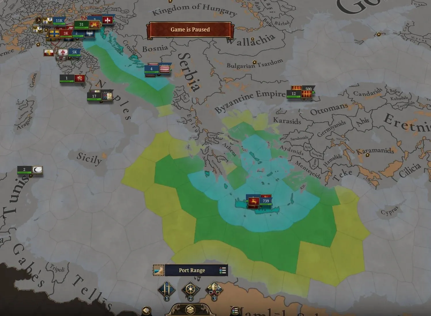
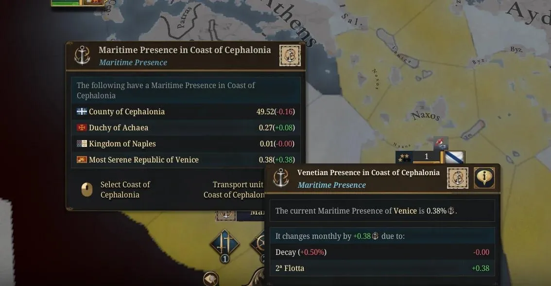
Venice, Genoa and Portugal never controlled whole seas. They held scattered ports, islands and forts along their routes, and those footholds were what made their trade work. In the base game, a fleet projects maritime presence wherever it sails, so a port network adds little.
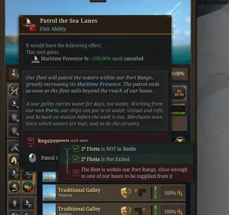
The design ties maritime presence to coastal locations. A fleet’s impact is much smaller beyond 3 sea tiles of your own coast, and a new fleet stance multiplies it where it matters.
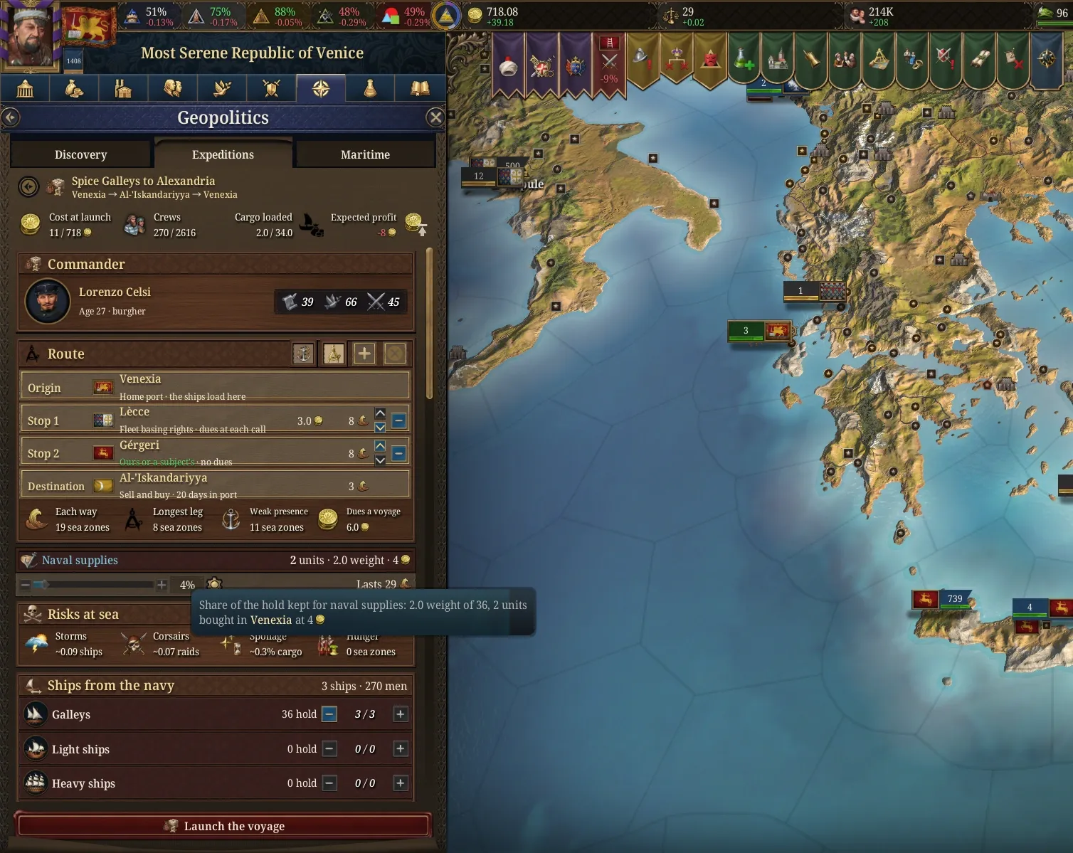
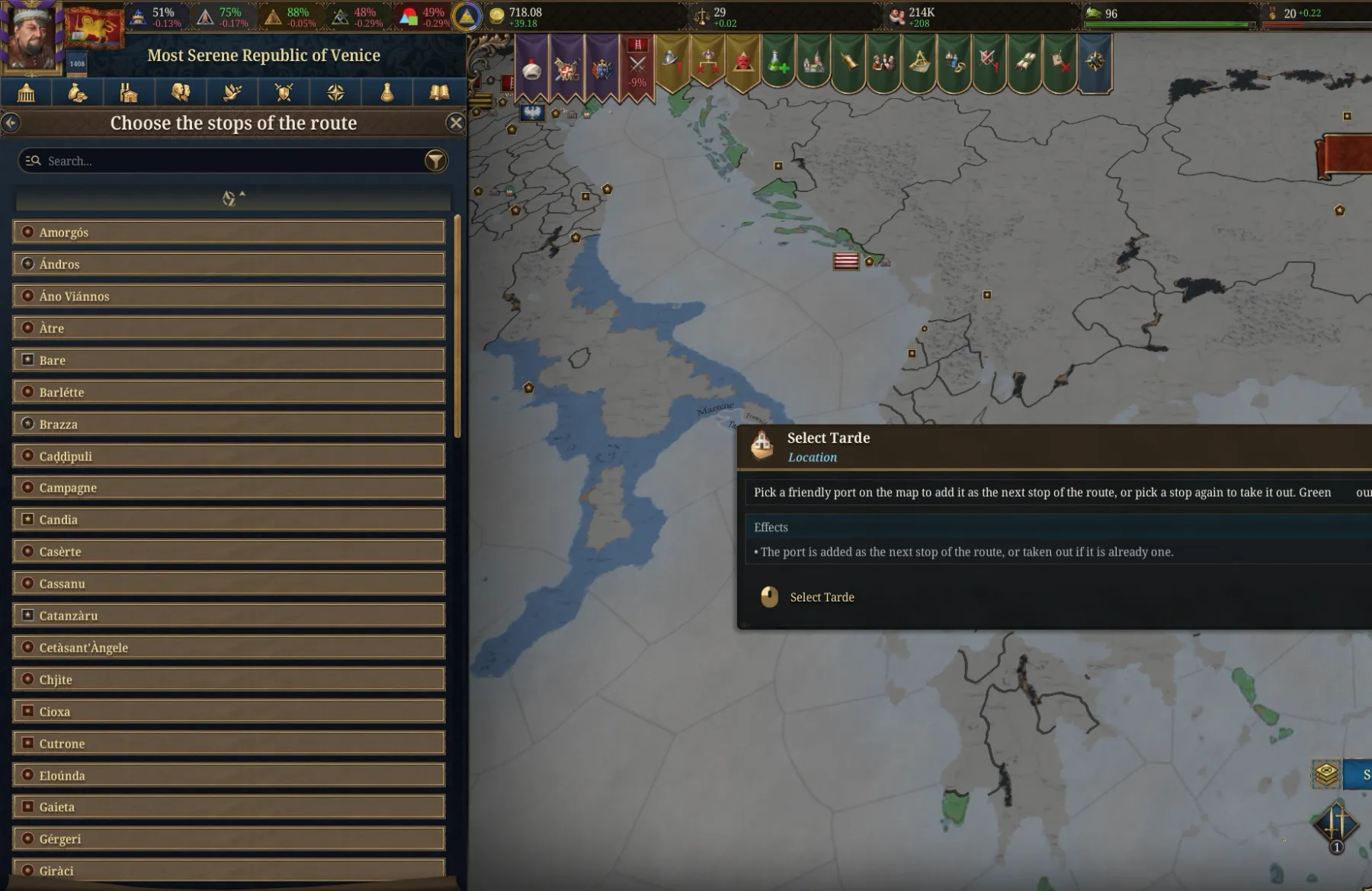
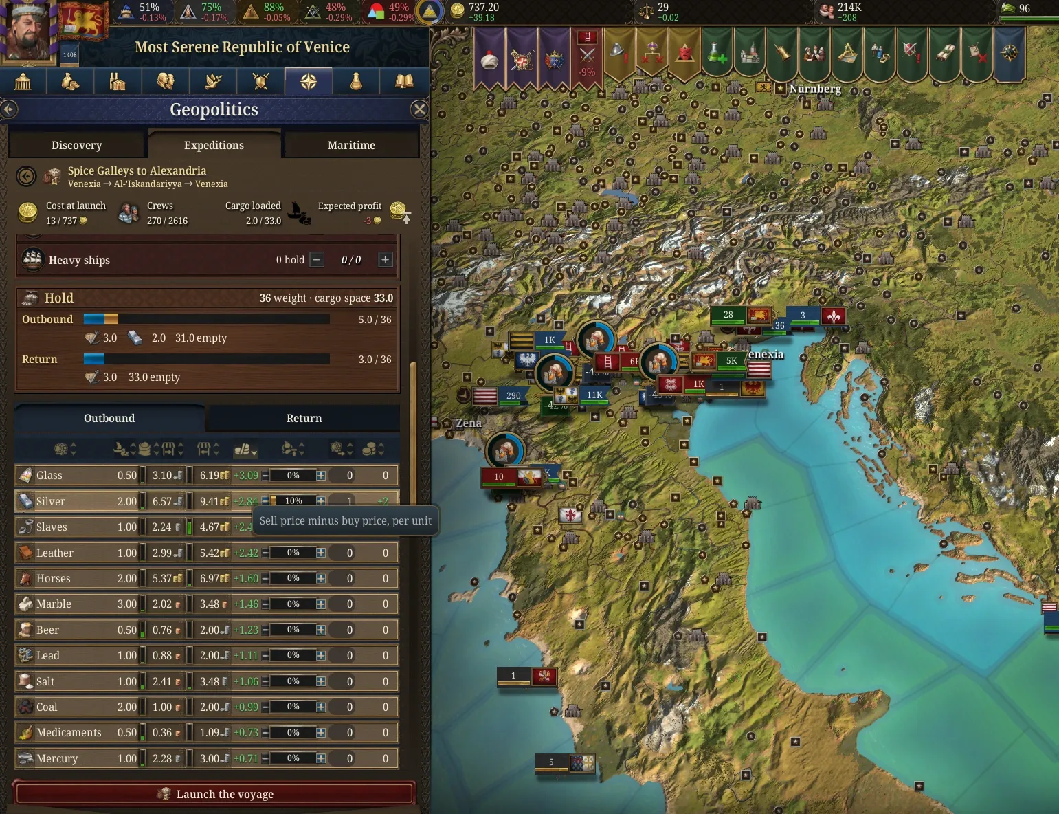
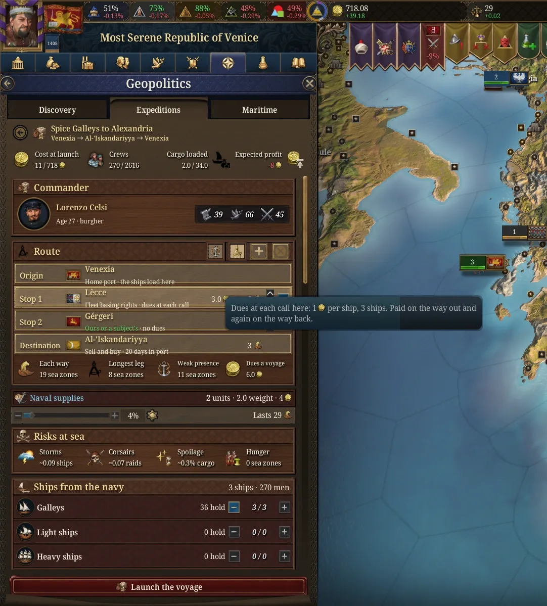
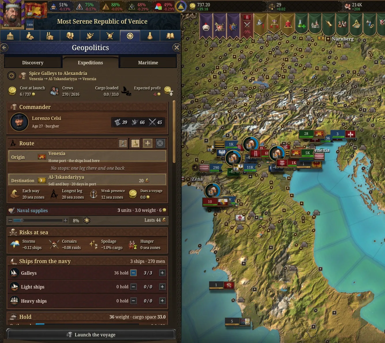
On top of that, a new expedition mechanic models the organised trade voyages of the period: the Venetian galleys to Alexandria, the Portuguese runs to India, the Castilian convoys, and later the Dutch and British.